Precision data capture
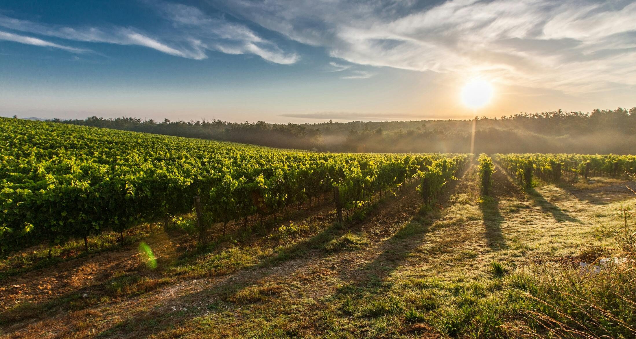
Collect ultra-high-resolution environmental and agricultural data using drone-based scanning for terrain, crop health, and canopy coverage with centimeter level accuracy.
Automated workflows
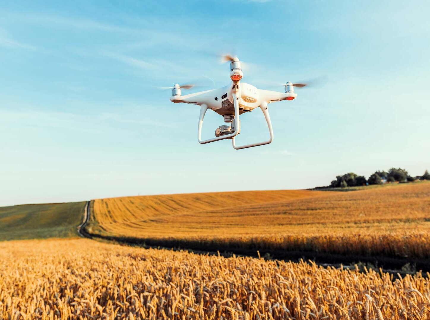
Streamline data processing through intelligent automation. From flight to file, we reduce human error and accelerate your access to actionable intelligence.
Scalable insights
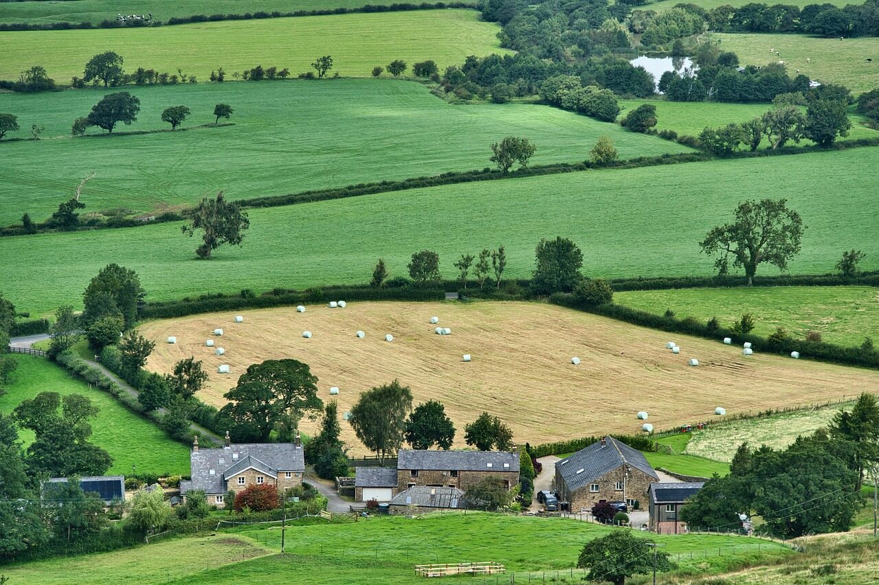
Whether you’re mapping a single field or an entire region, our platform adapts to your needs — empowering landowners, farmers, and decision-makers with geo-referenced intelligence.
WHAT WE DO
using drones, AI, and advanced sensors to turn landscapes into data. From crop health to soil analysis, Future Farmer helps you see more, decide faster, and farm smarter.
All from the sky down.